Background Information
These galleries of photographs from around the old town of Morrisburg (with the exception of the aerial photos) were all taken by the Reverend George H. Smith in the 1950s in the period before it was flooded by the St. Lawrence Seaway construction completed in 1958. They are presented with the generous permission of his daughter, Claire Delage, the current owner of all copyrights. |
We are continuing to add information to Titles and Descriptions for each of the pictures. We would appreciate any information and stories associated with the pictures that anyone can provide. Click here to send us your information (with the applicable Picture Id). |
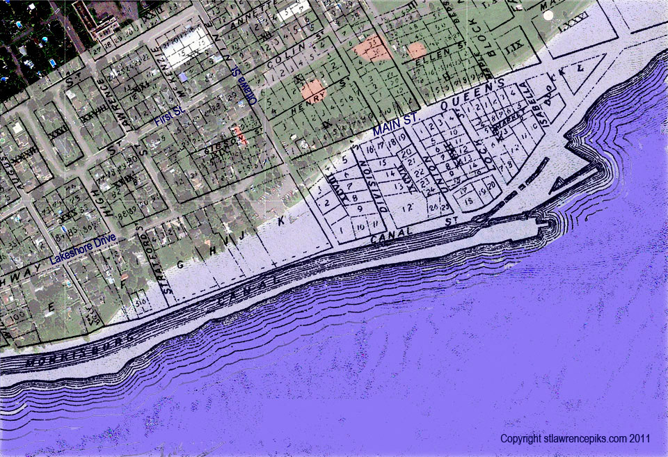
Map of the Old Town overlaid on current satellite image.
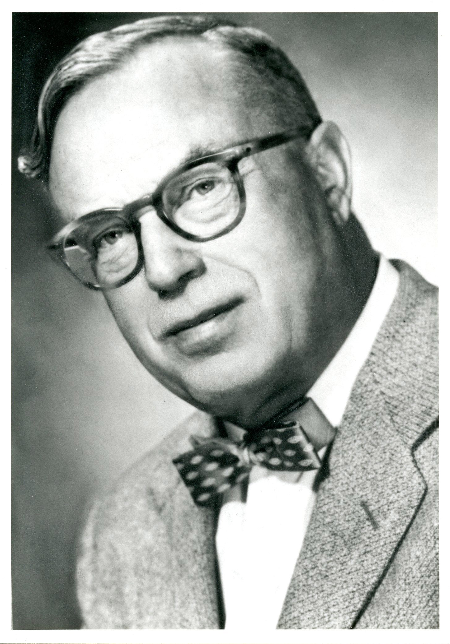
Reverend George H. Smith.
See Many of the Reverend George H. Smith's Pictures By Exploring These Galleries Of The Old Morrisburg.
(Click on the Gallery you wish to view)
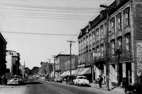
A Virtual Walk Down Main Street
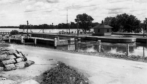
The Waterfront As It Was
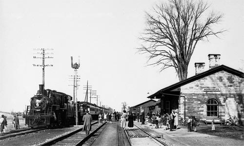
Historic Occasions
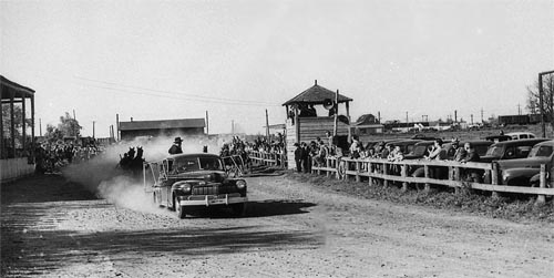
Recreation & Education
What The Old Town Looks Like Today