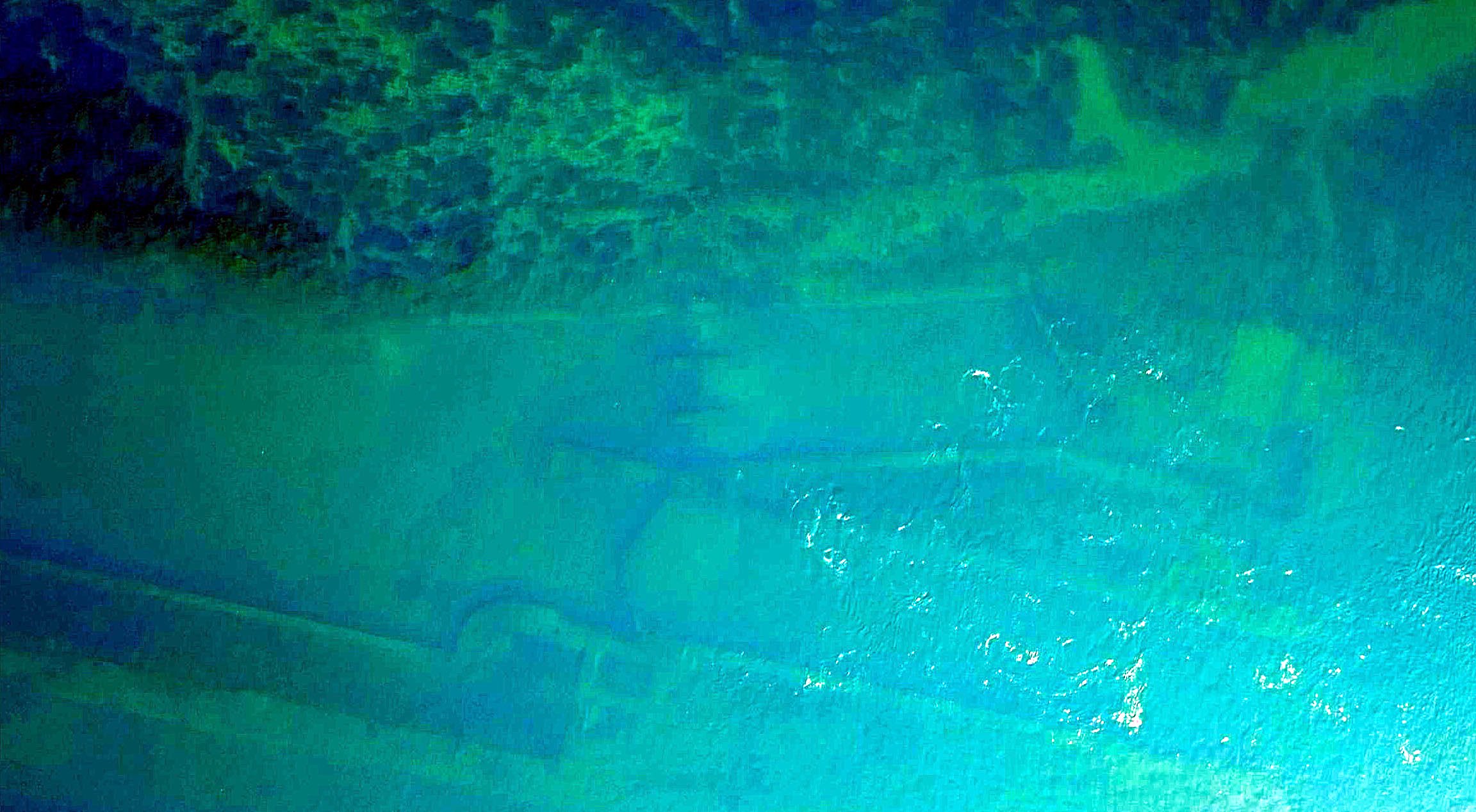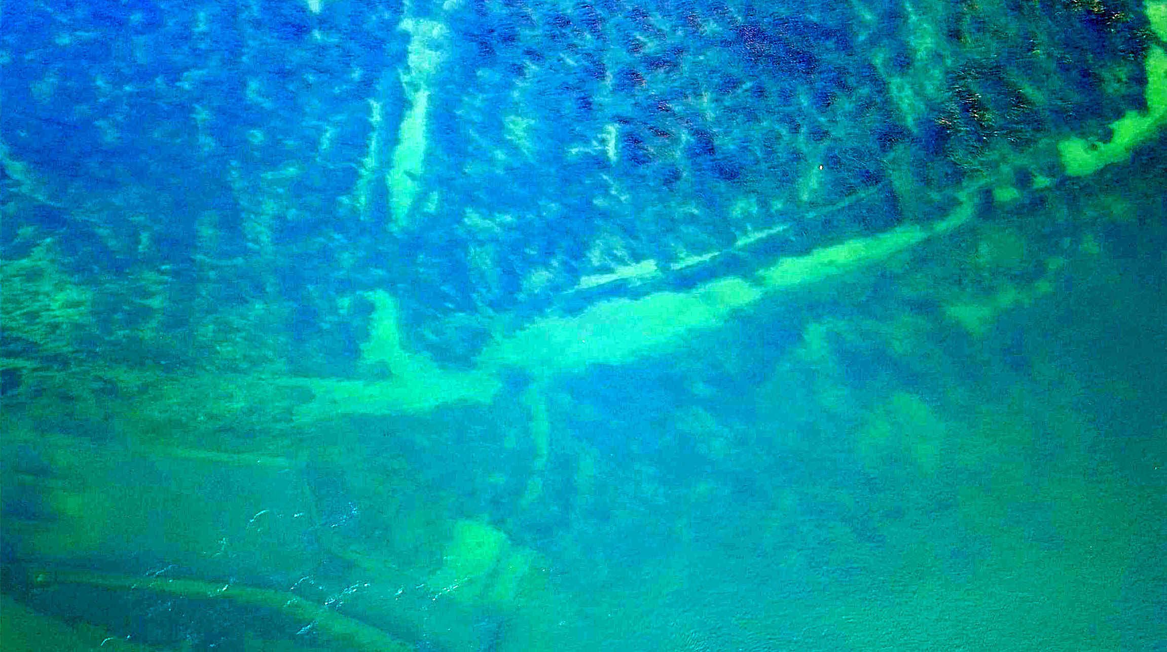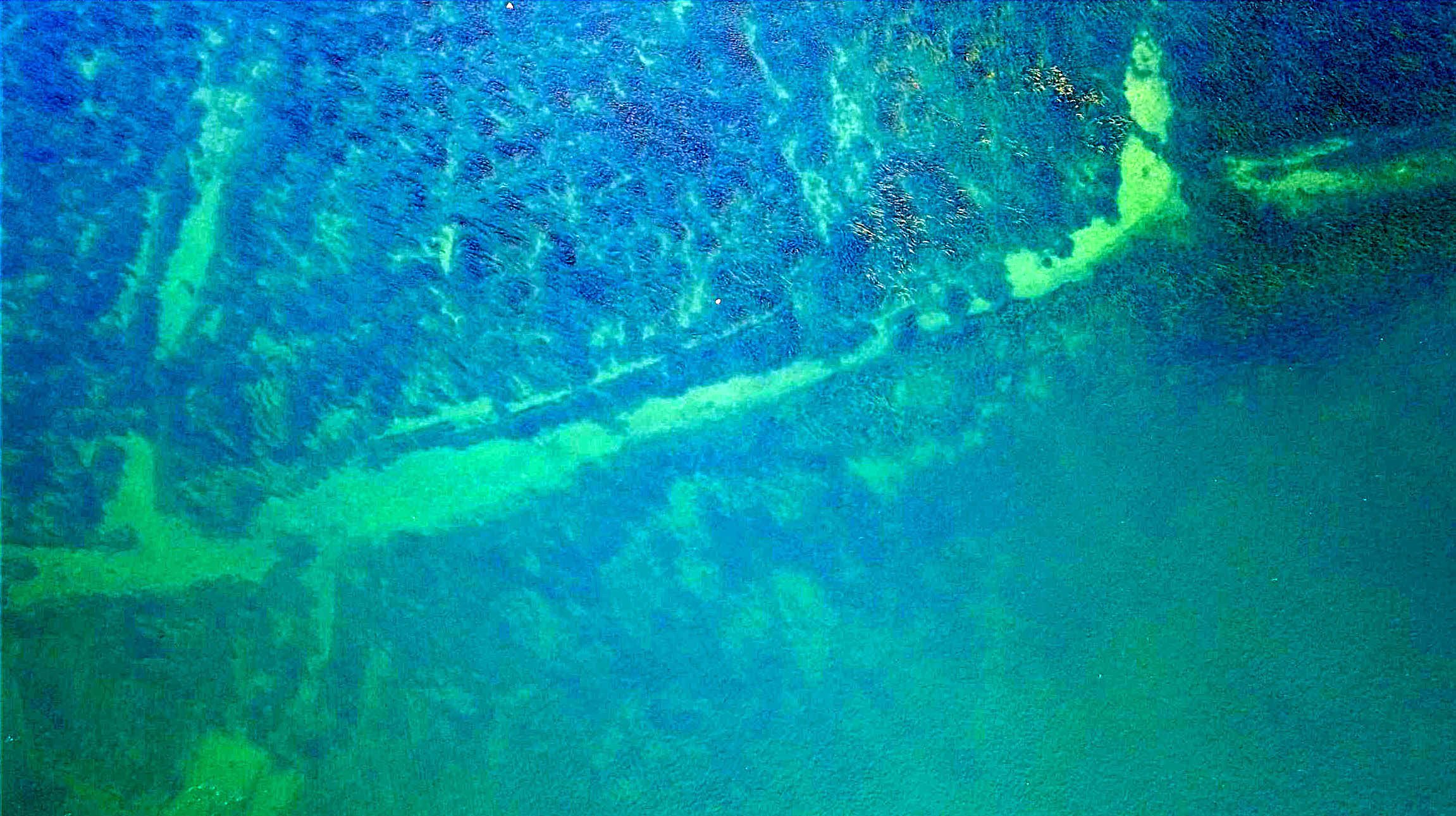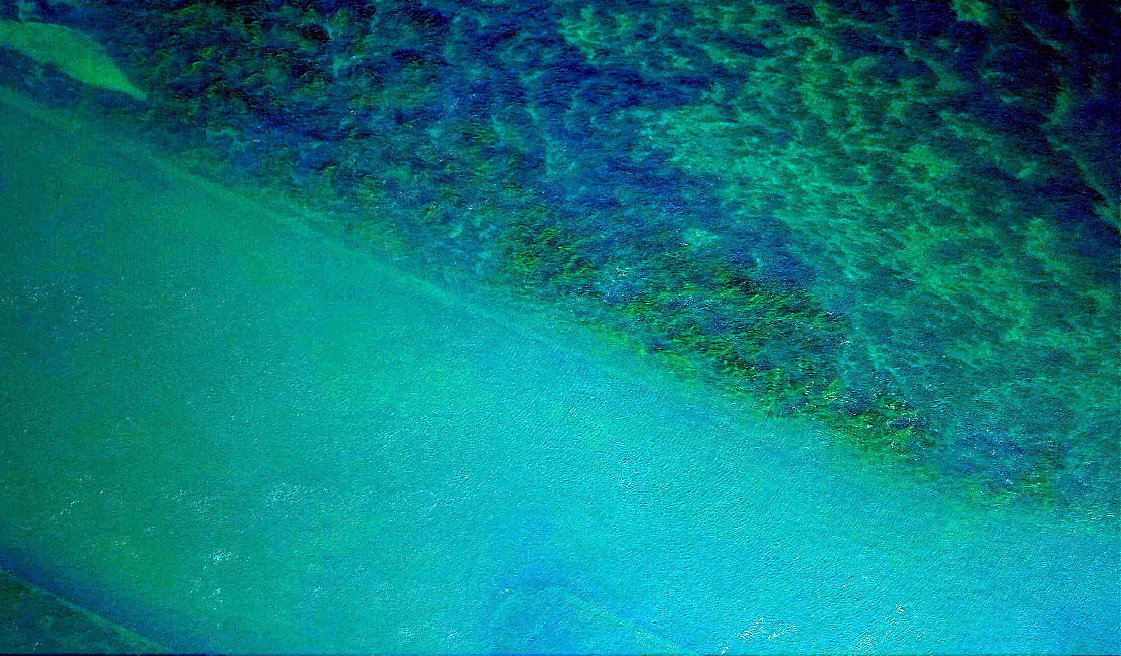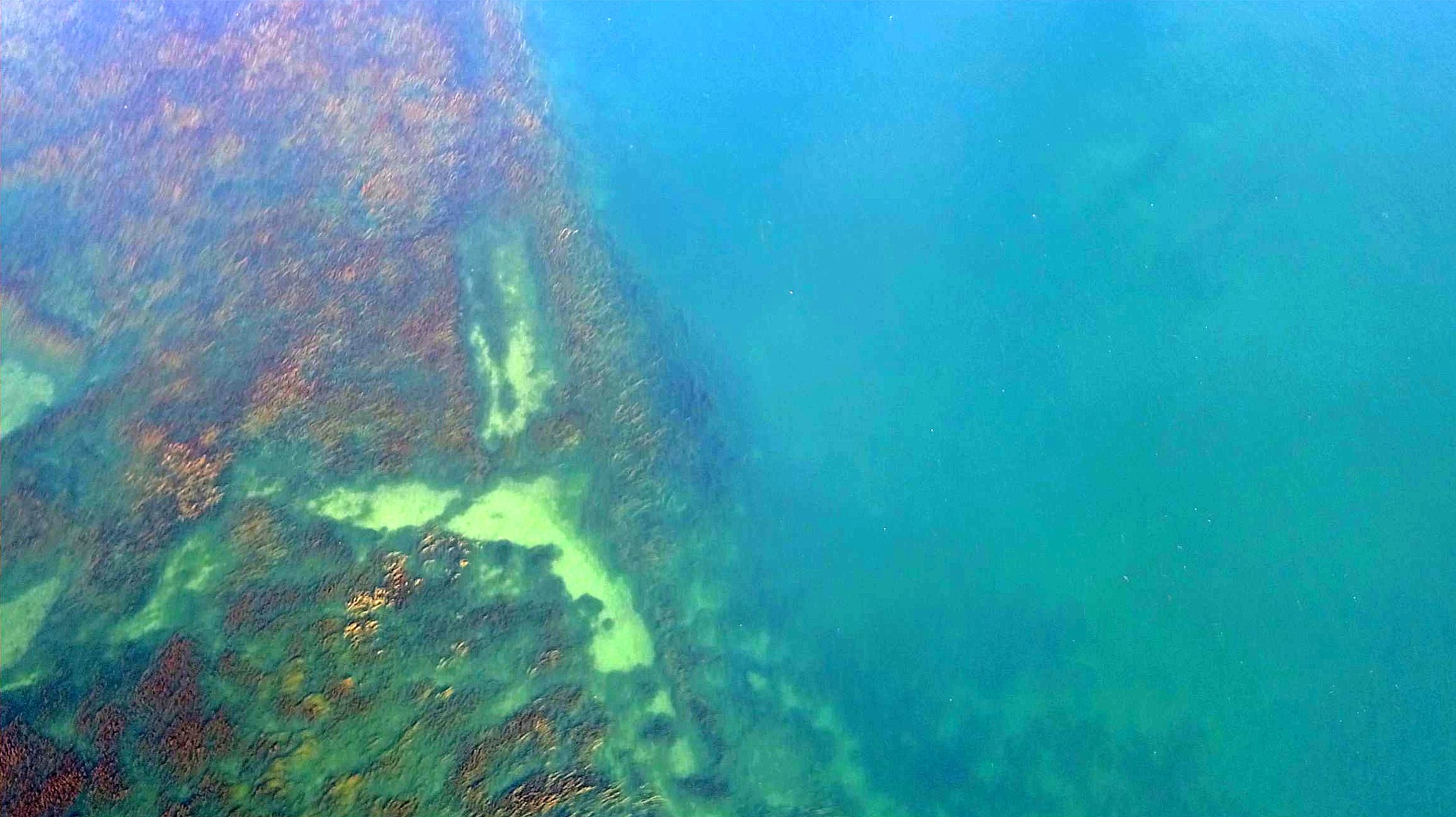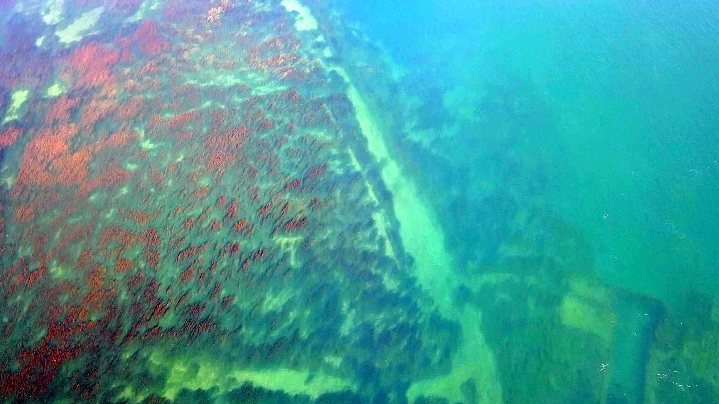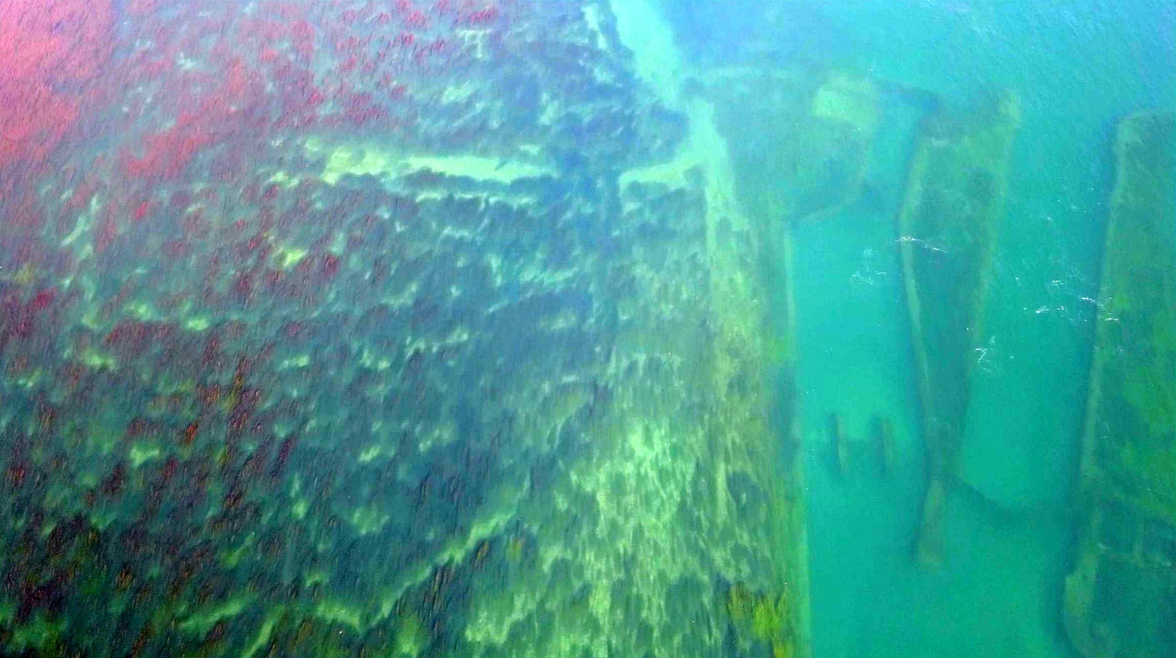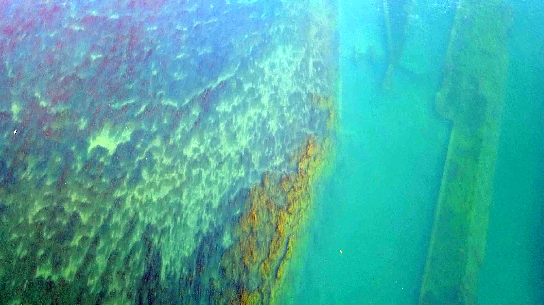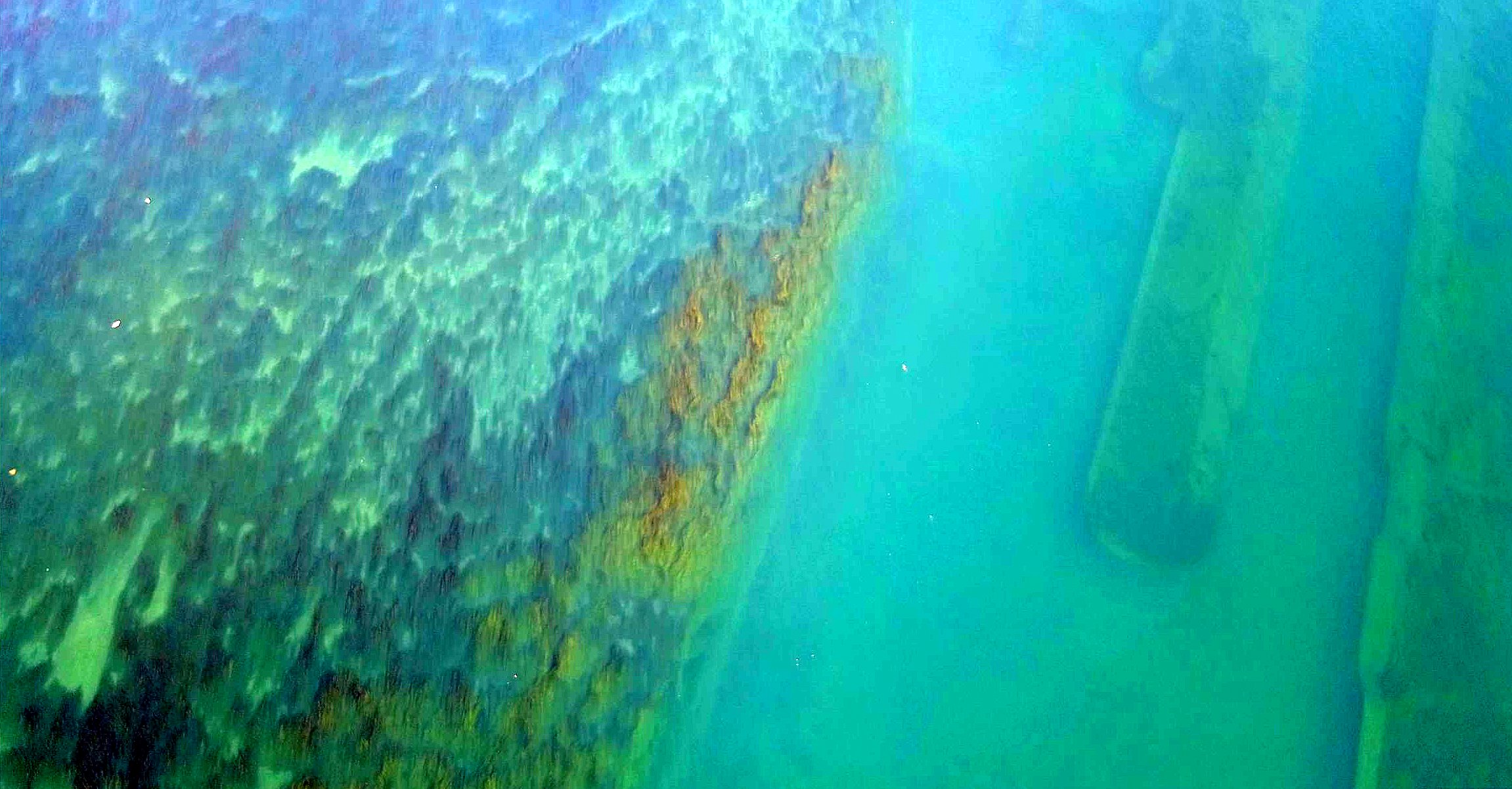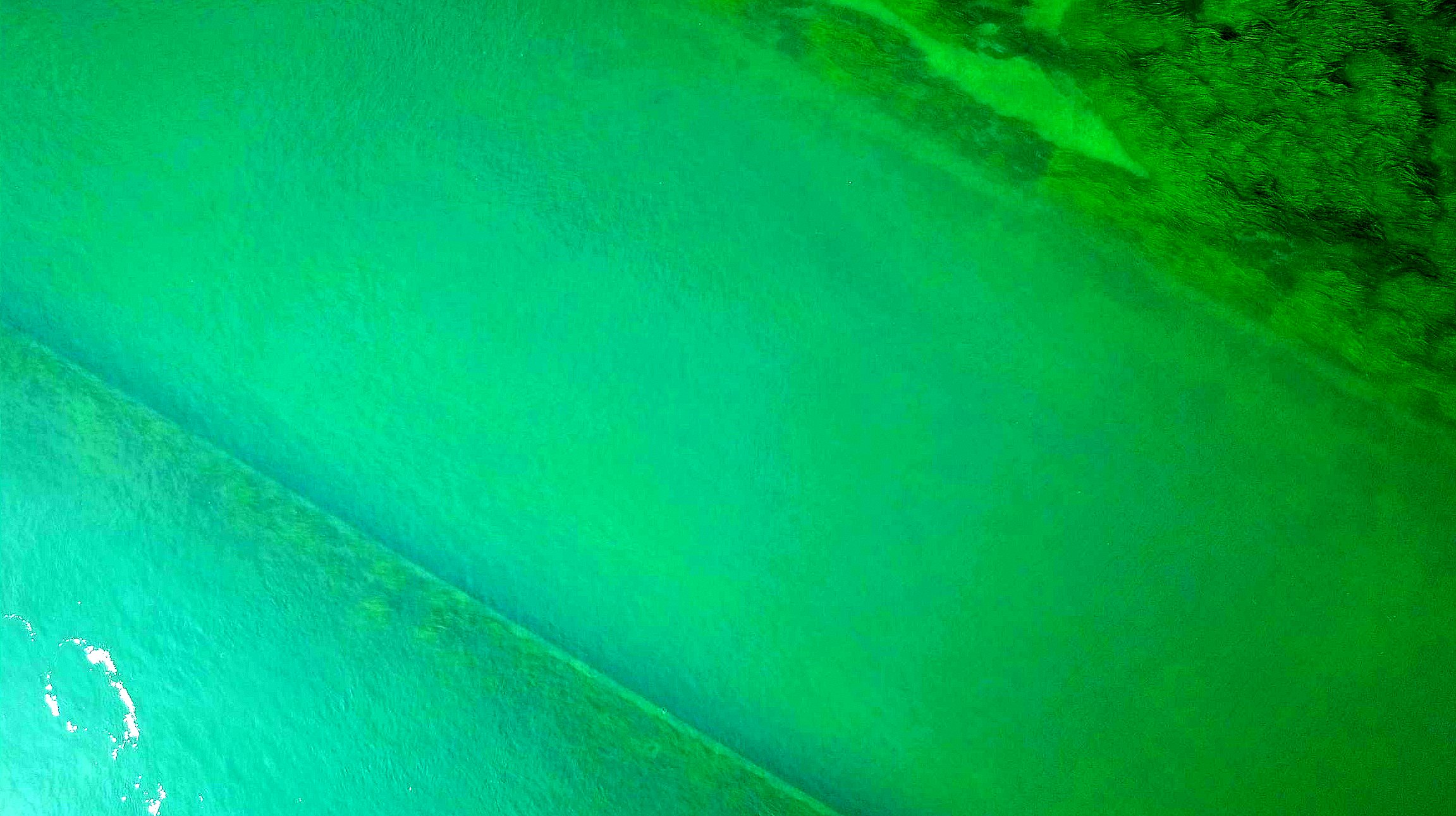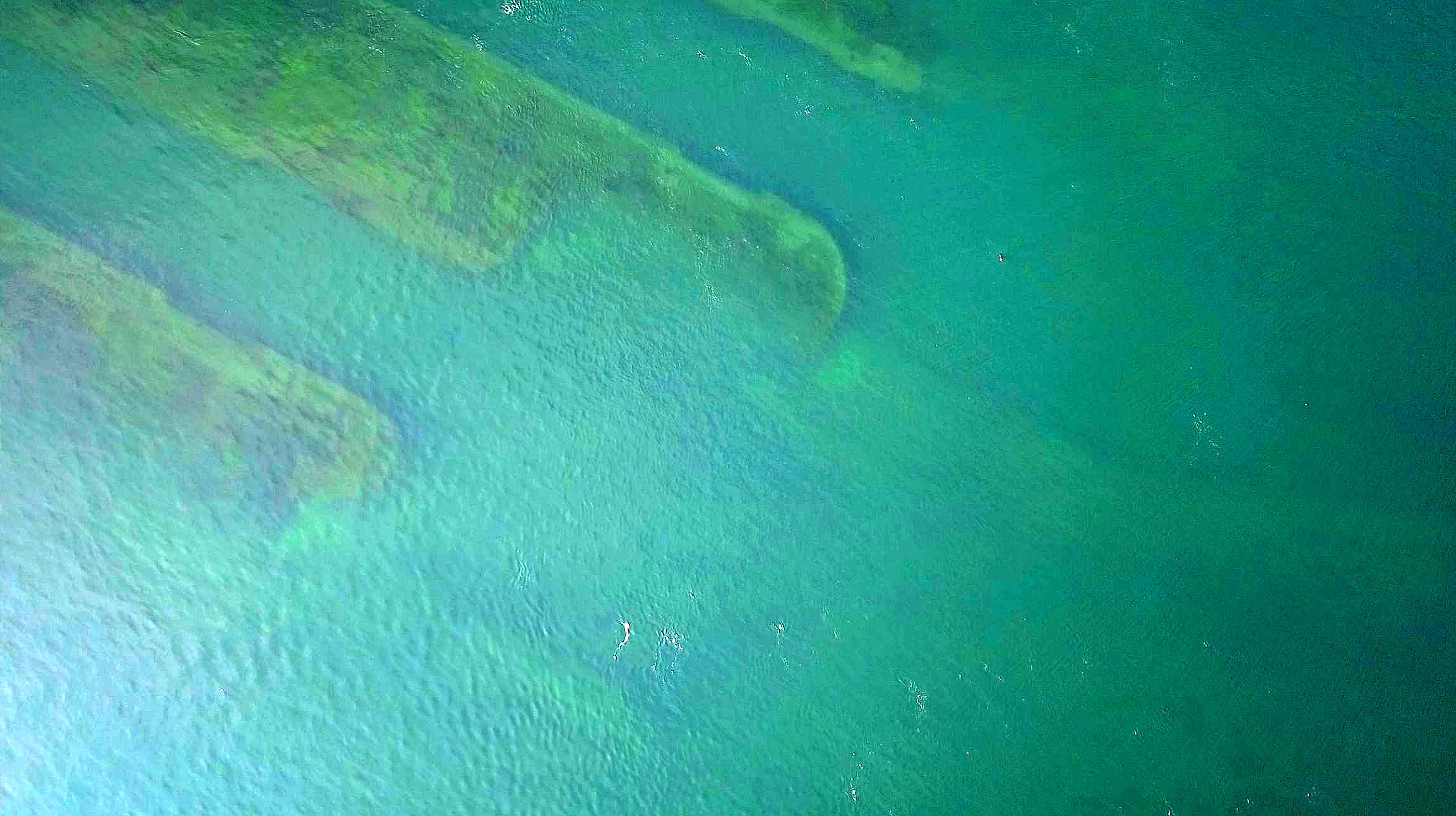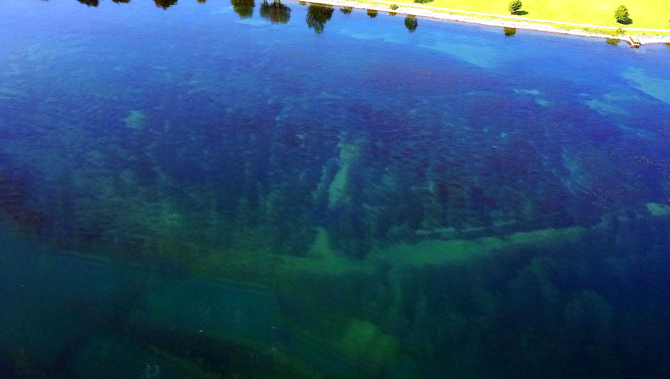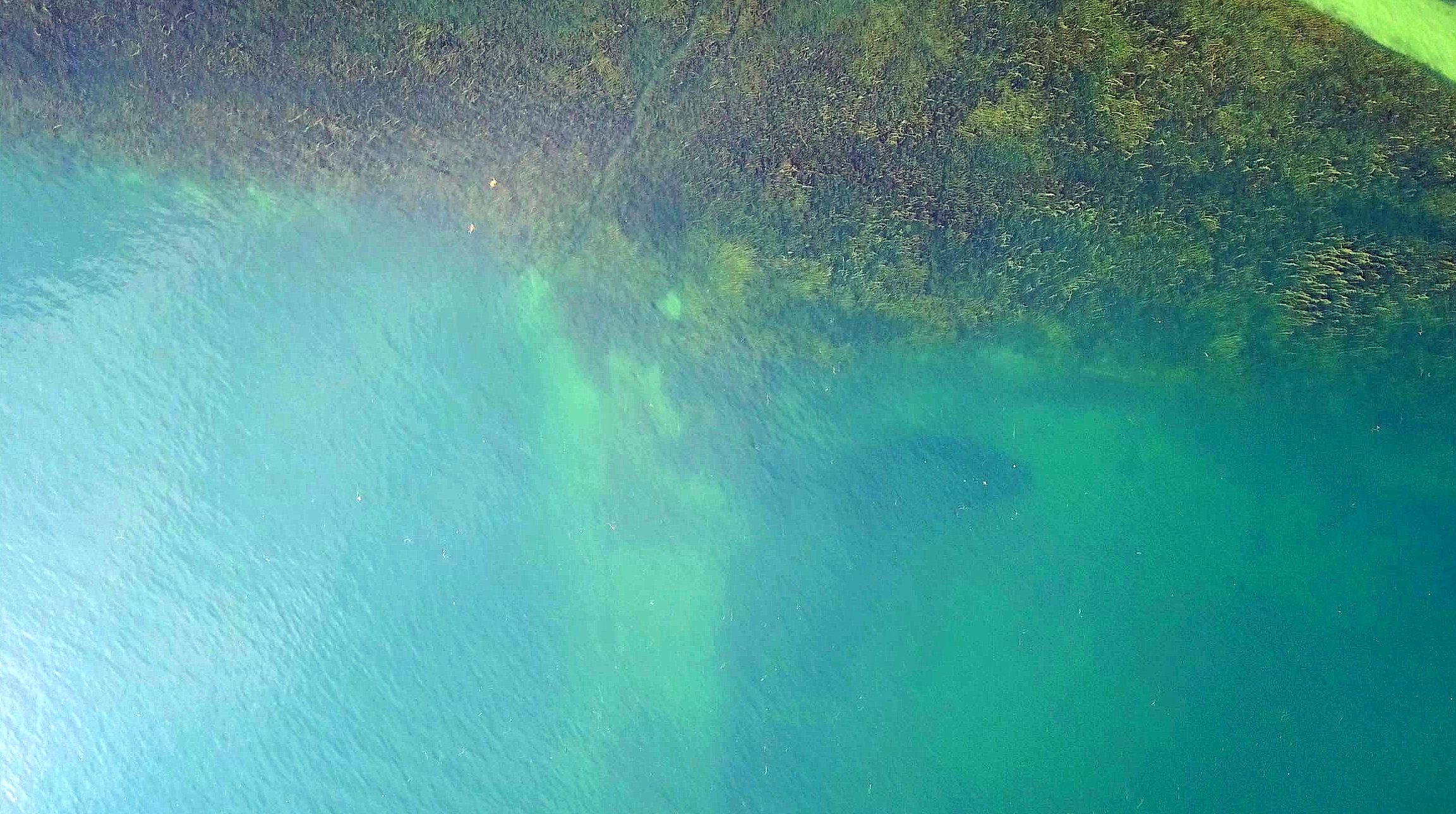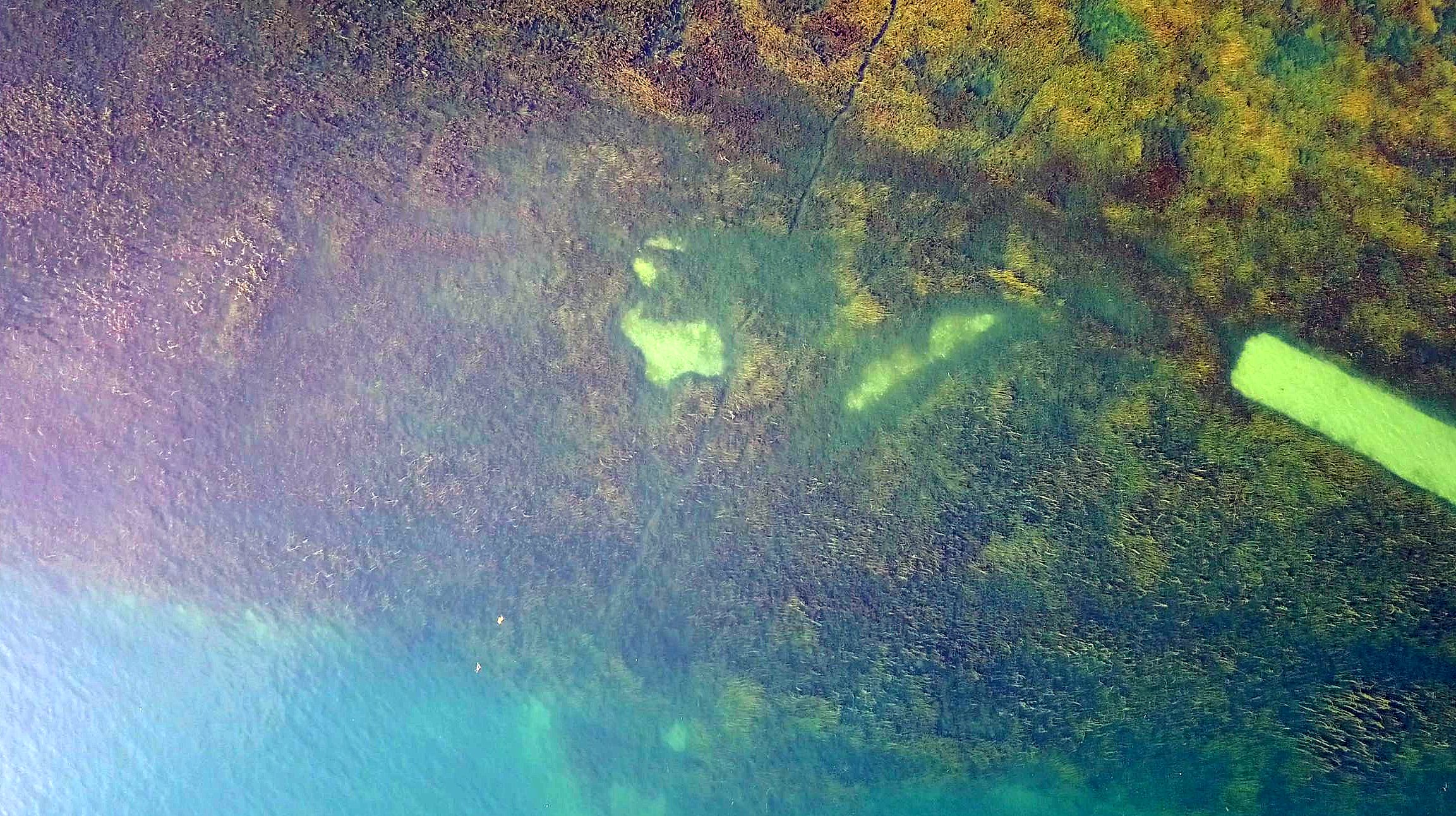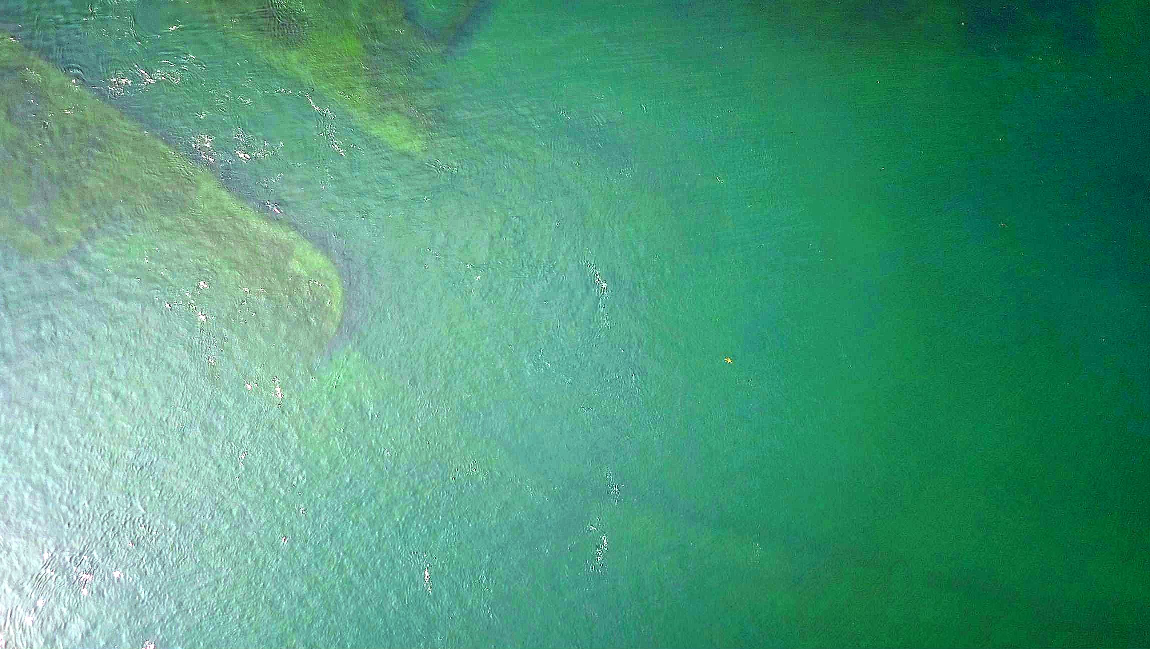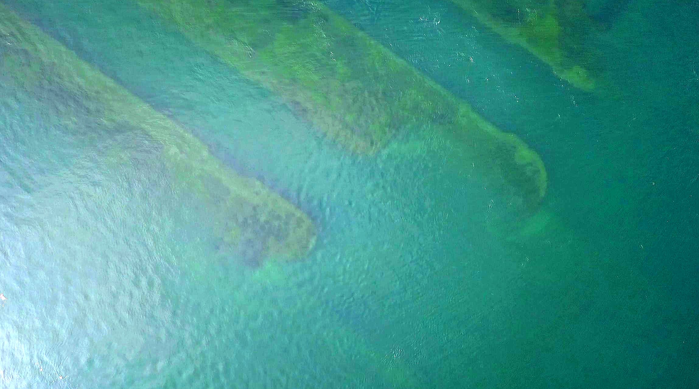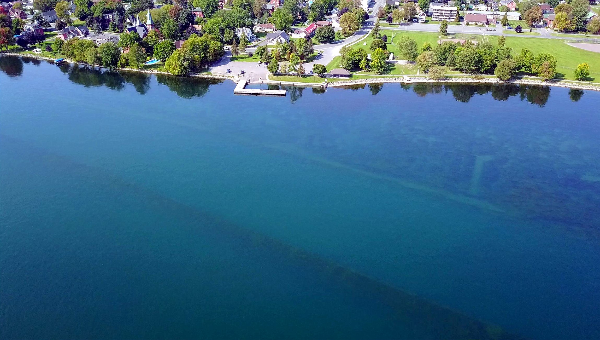
Morrisburg, Then & Now - Lock 23 Under the St Lawrence River.
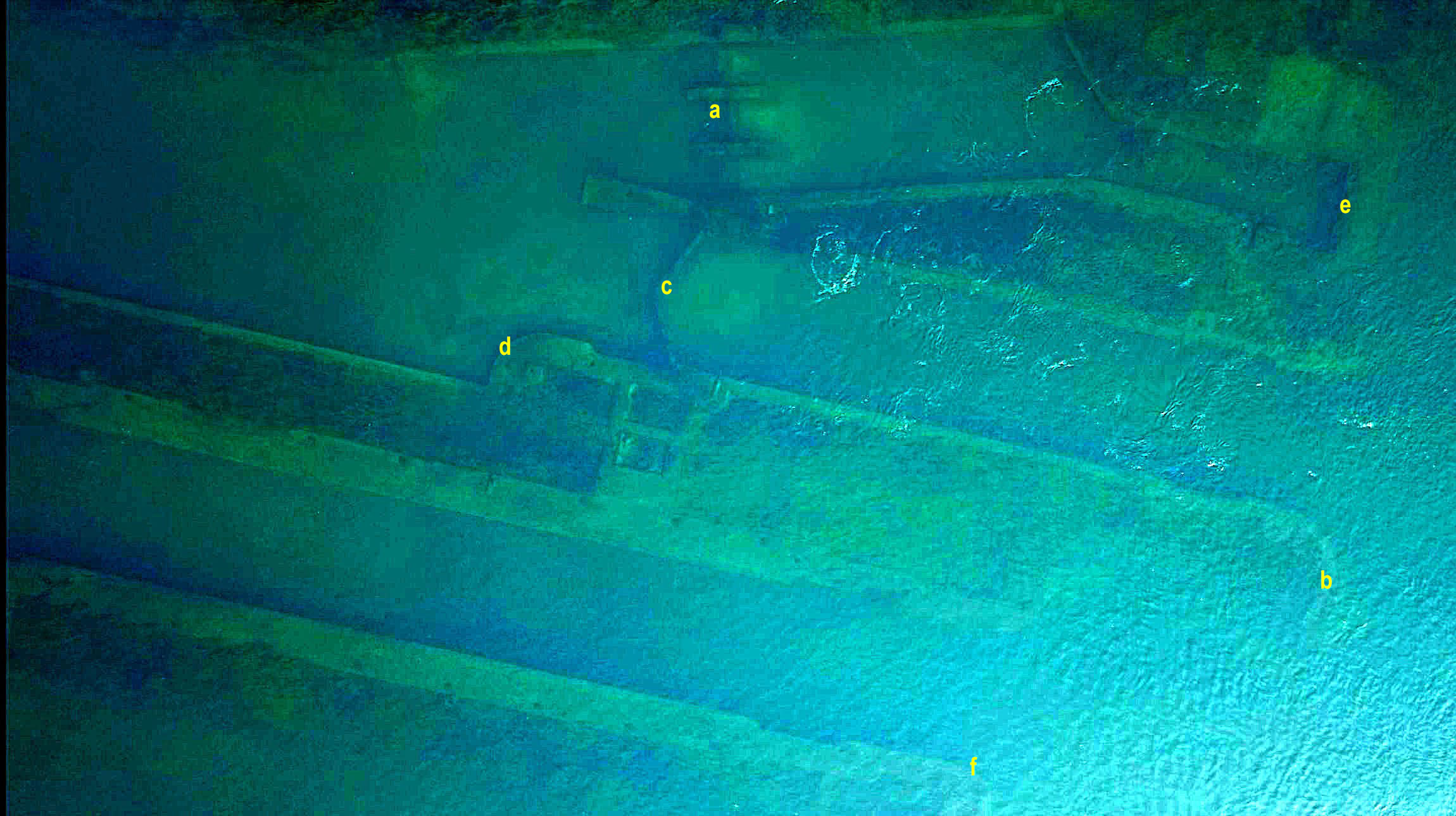
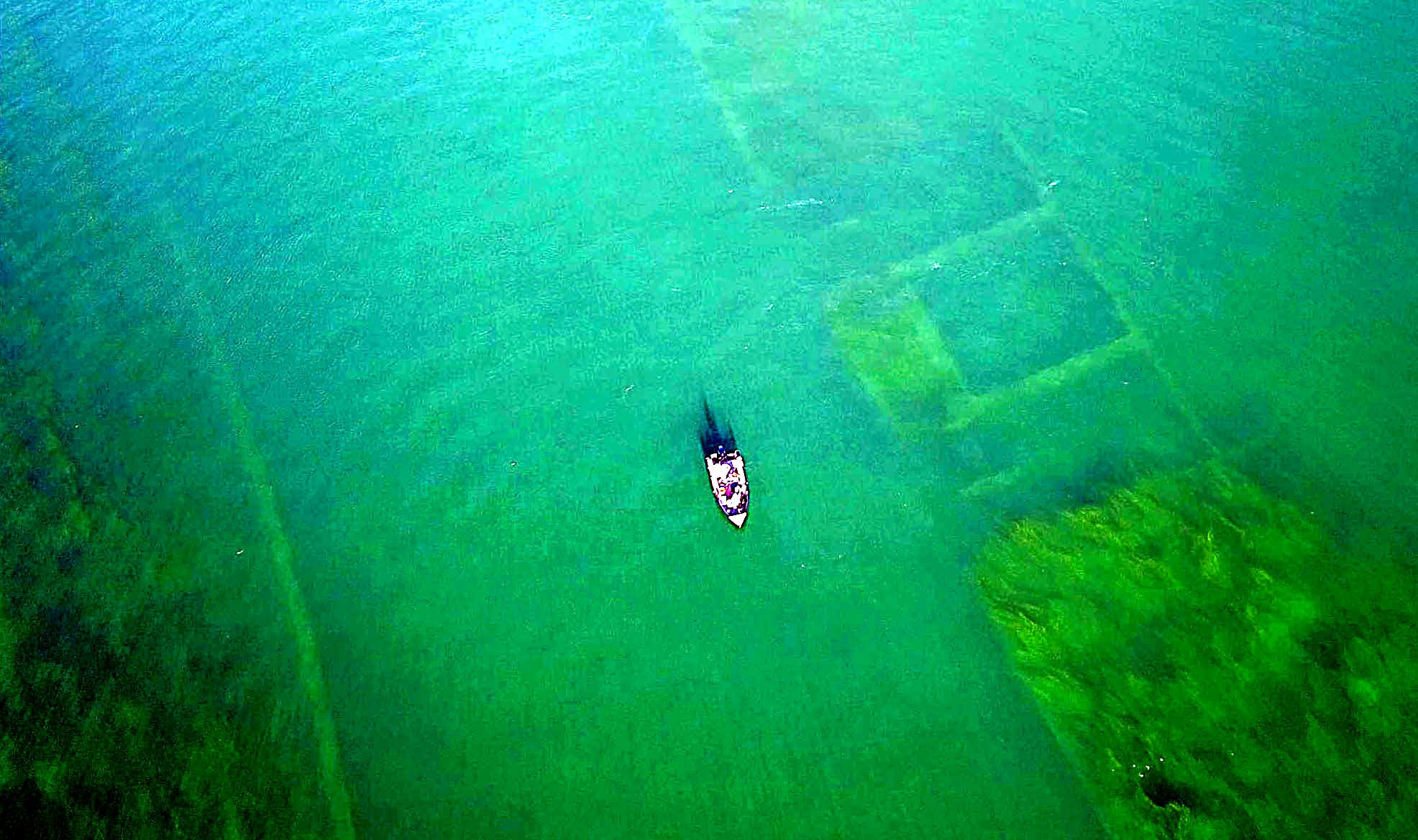
SC17091901: Morrisburg Lock 23 Under the St Lawrence River.
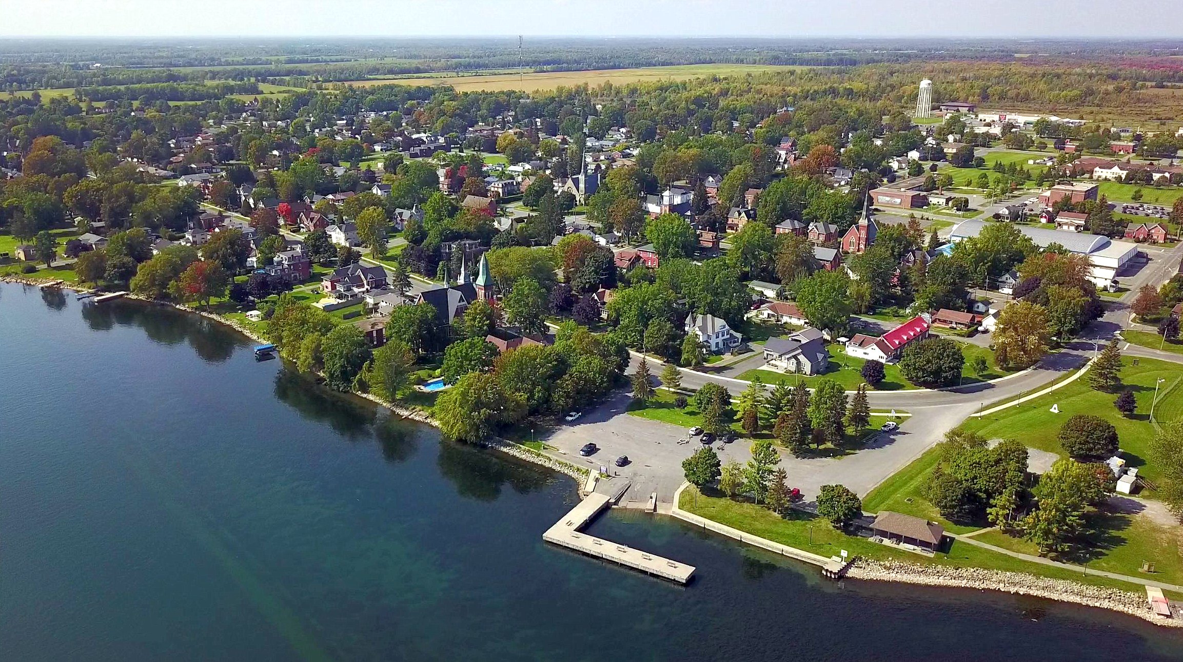
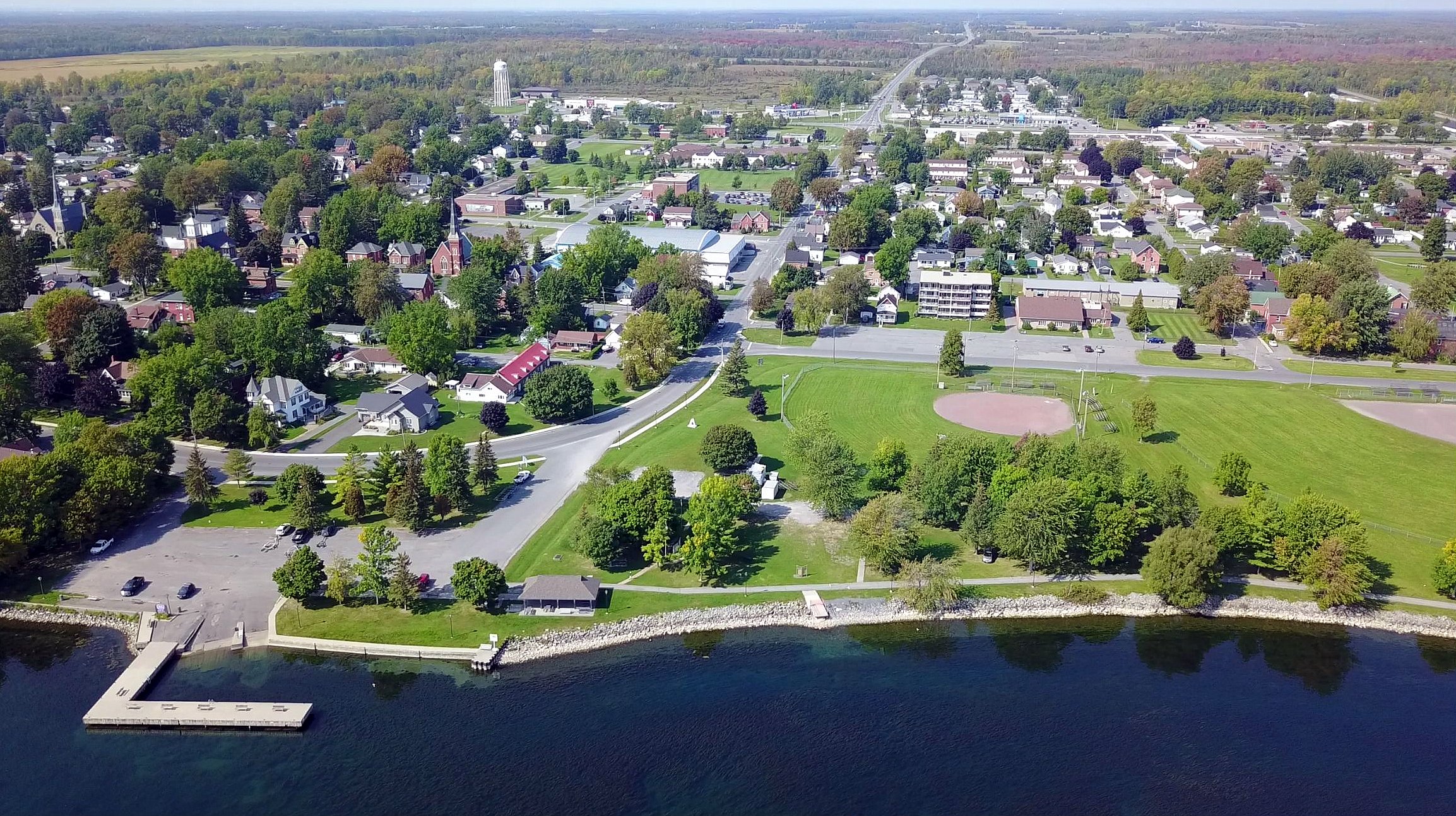
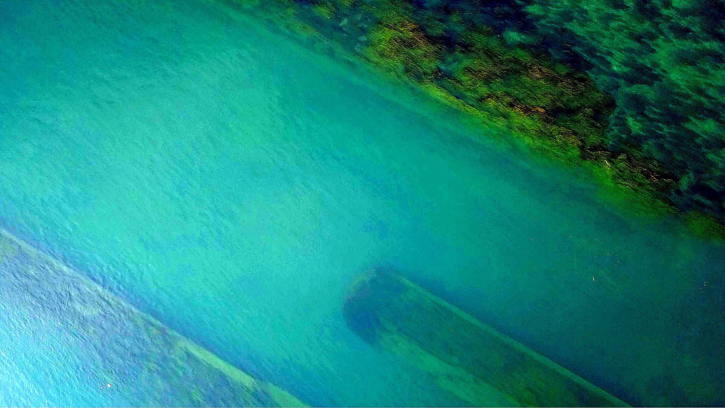
As observed by the St Lawrence Maverick from about 100 metres above the river. With annotations crossreference to locations on maps.
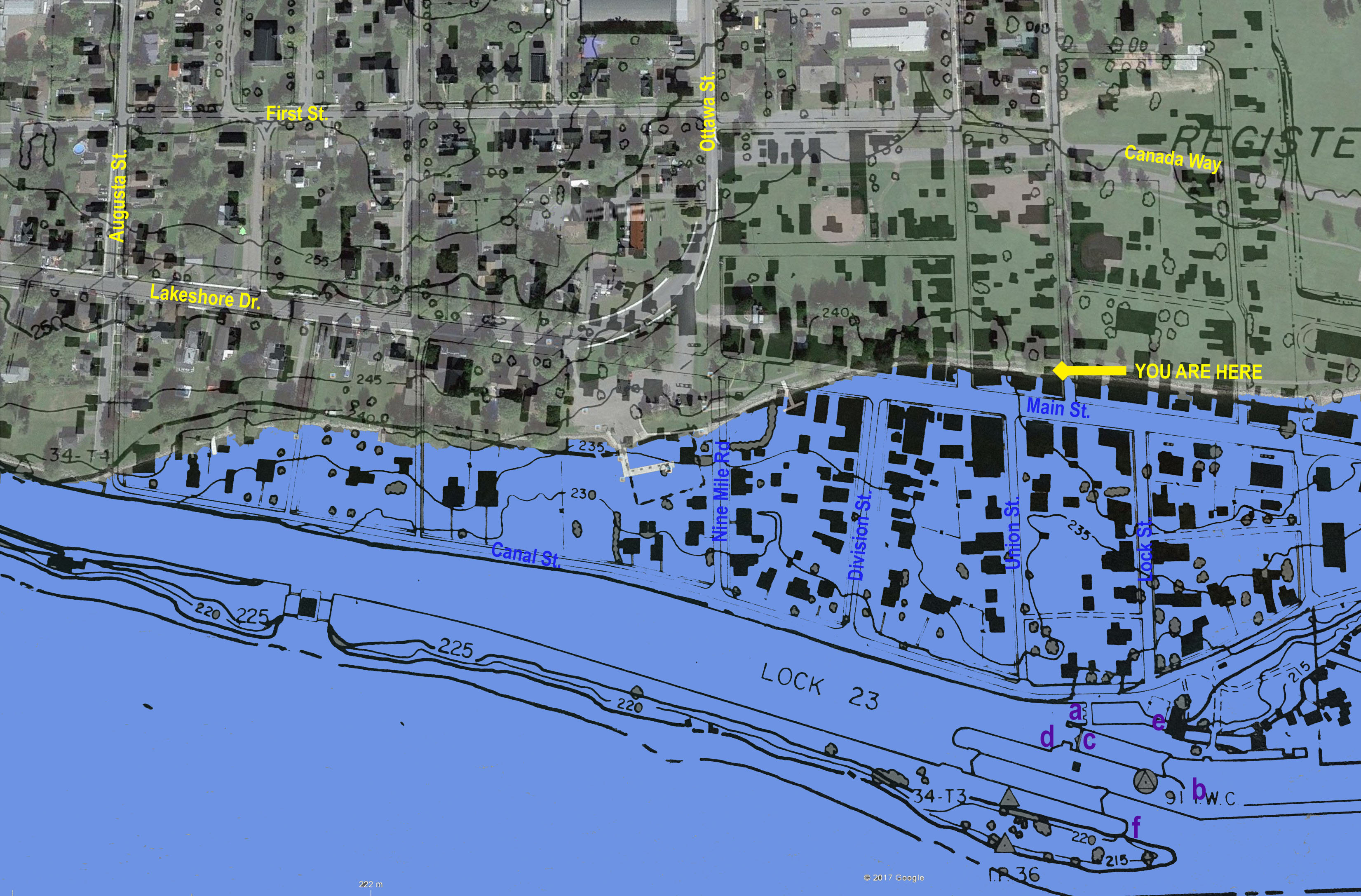
1950s Ontario Hydro Map of Morrisburg Before the Seaway & Today Maps Overlaid Together.
"YOU ARE HERE" is on the Waterfont Path, Where it Meets the Path to Canada Way.
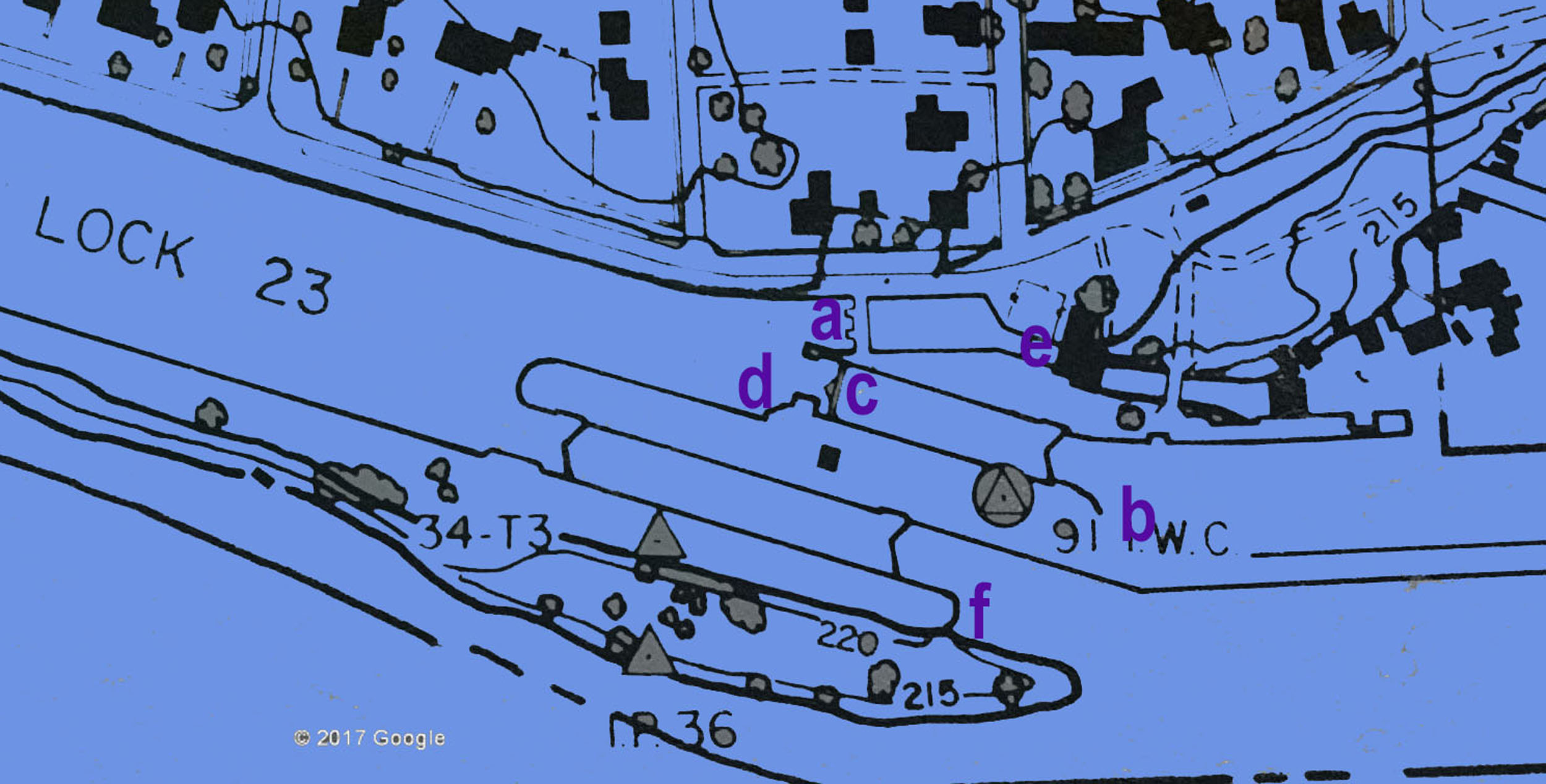
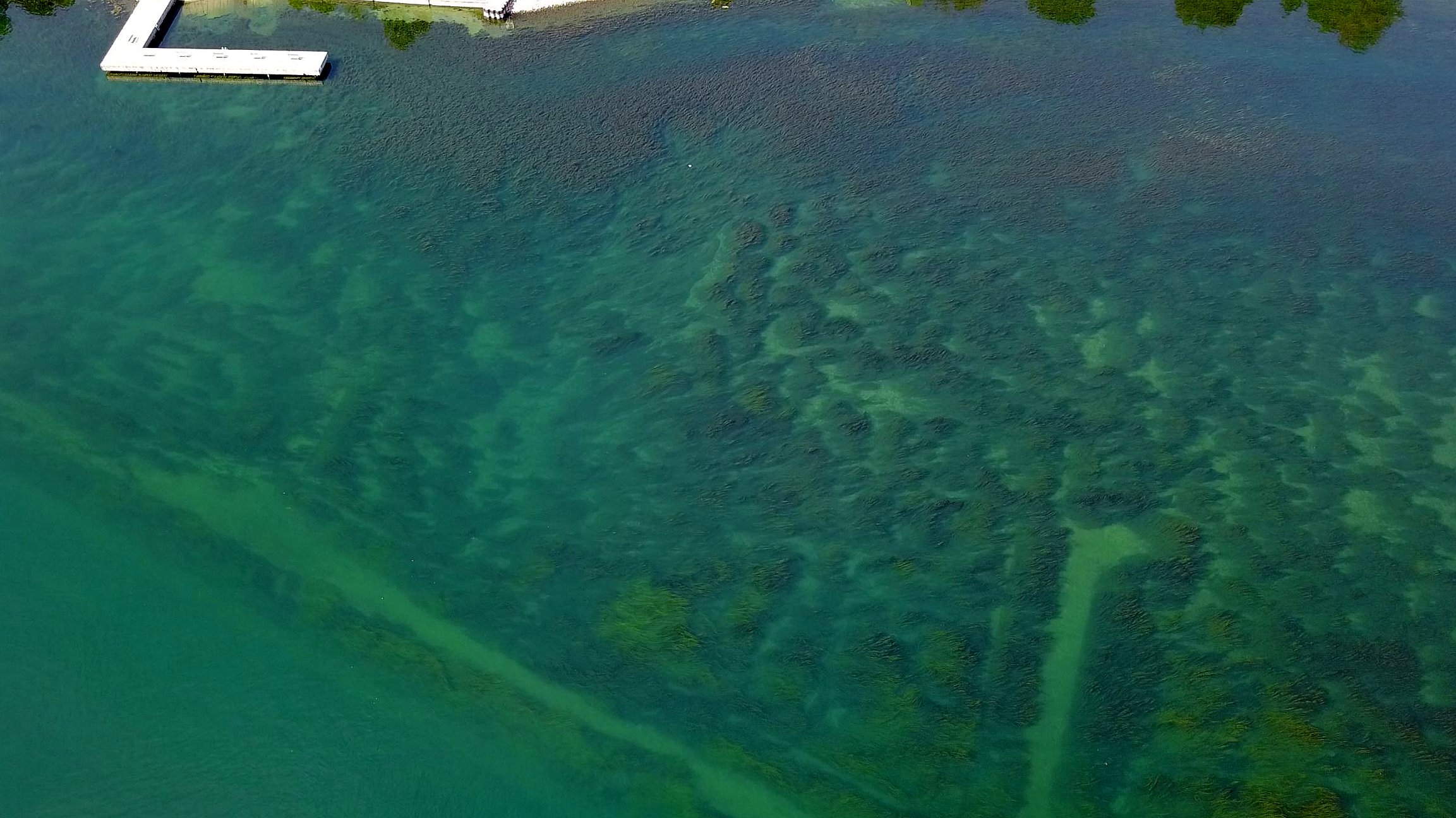
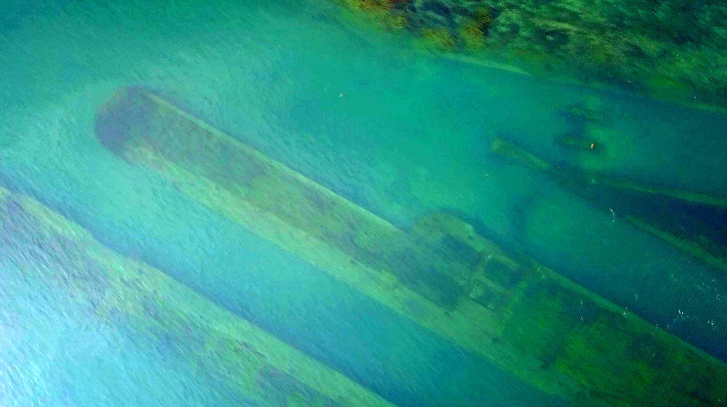
Lock 23 Map in more detail - with annotations to locations on the picture from above today.
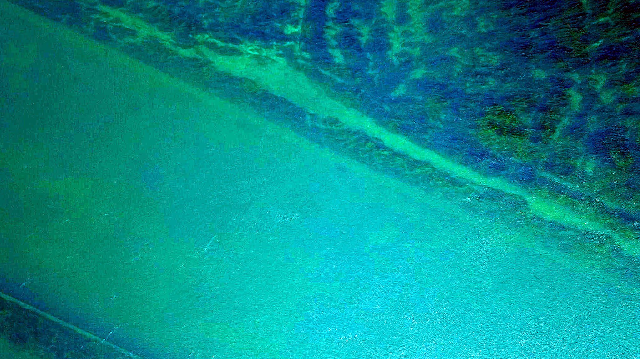
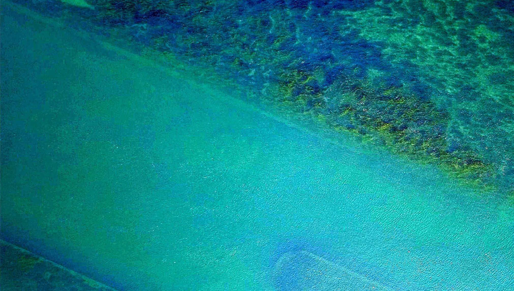
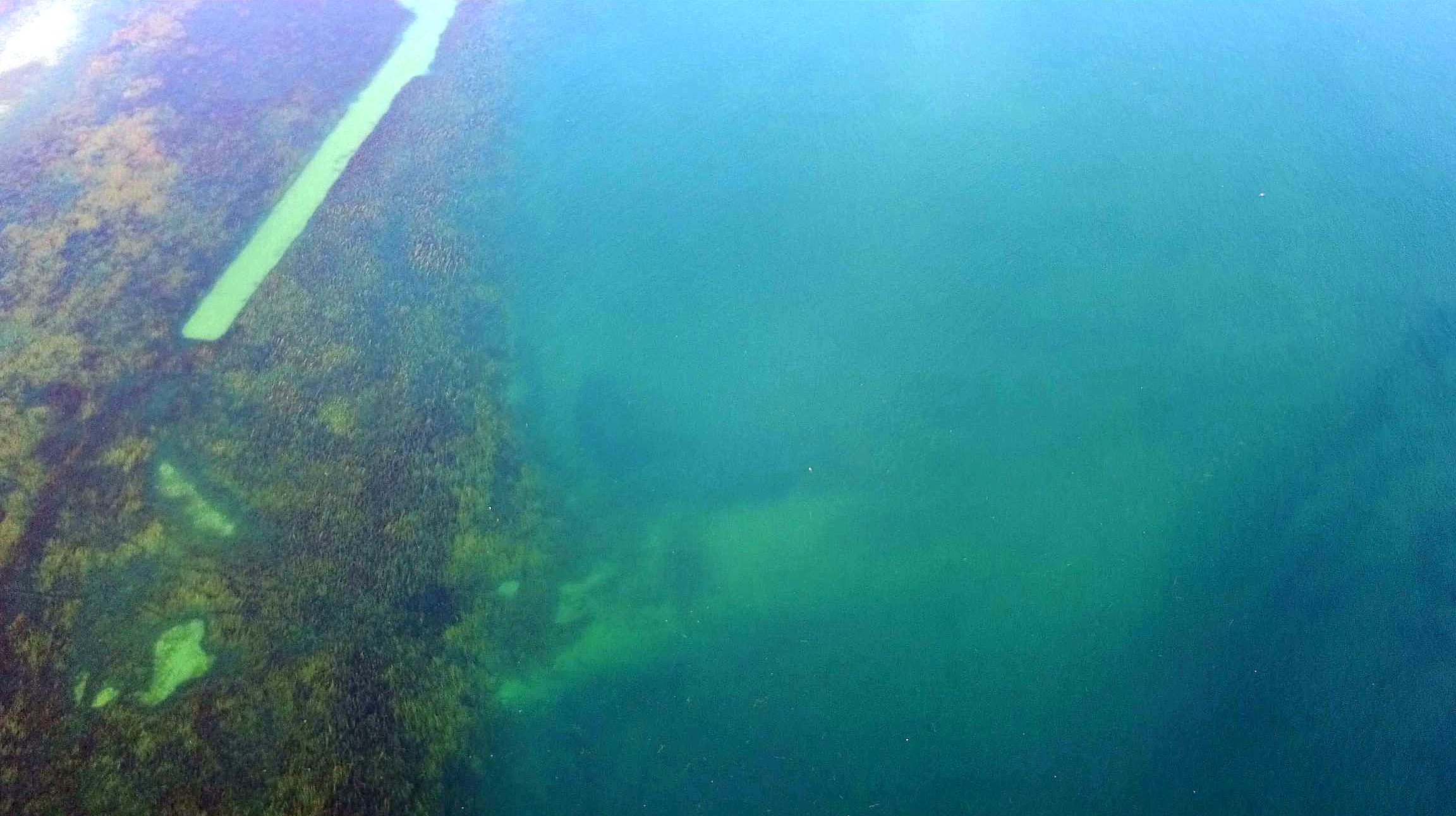
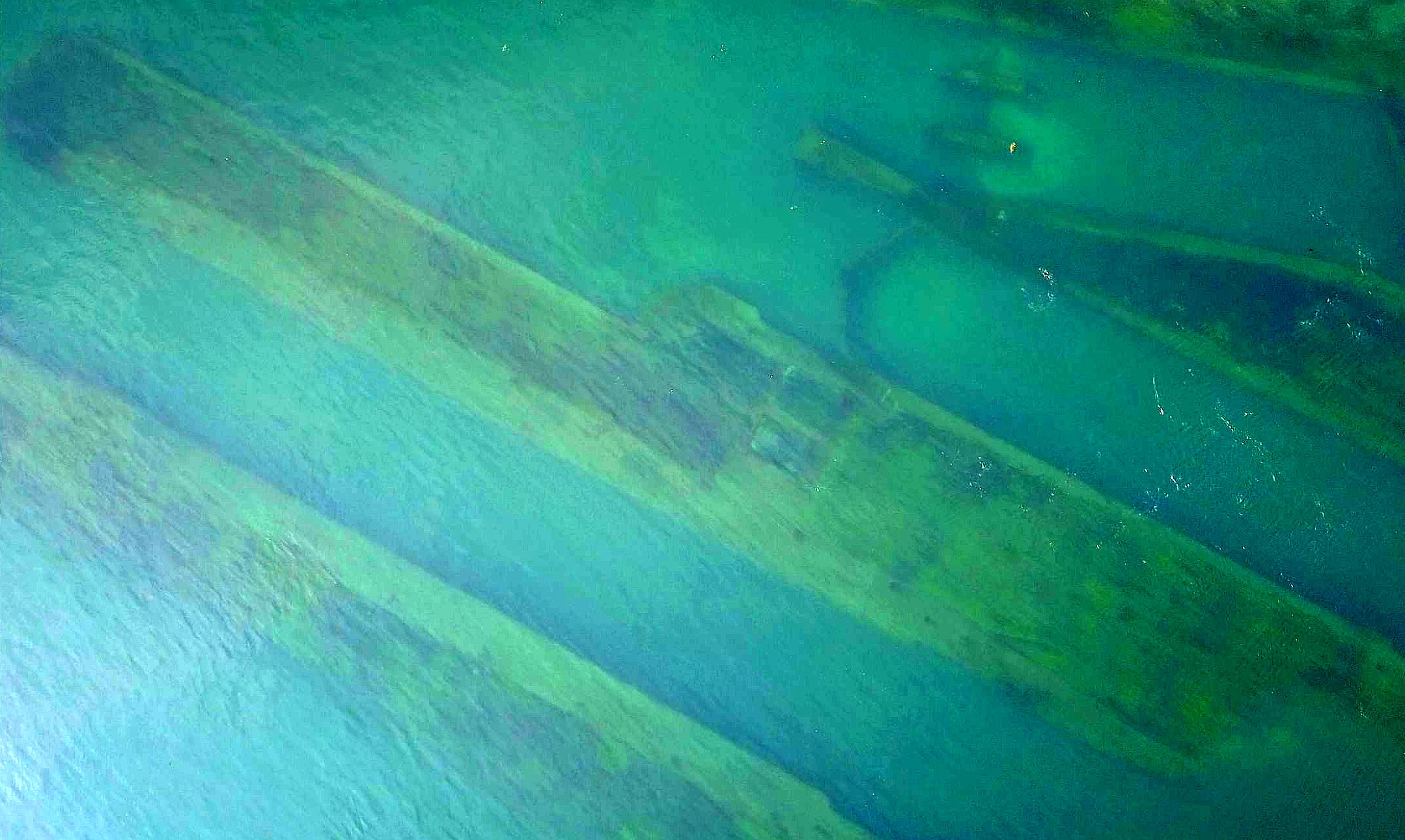
Fllowing are a series of pictures from above the river of the Lock and nearby areas. Note that the orientation is not always the same but keep in mind that the old canal channel runs west to east down river.